Llwybr ceffyl ger Dryslwyn / Bridleway near Dryslwyn
Introduction
The photograph on this page of Llwybr ceffyl ger Dryslwyn / Bridleway near Dryslwyn by Alan Richards as part of the Geograph project.
The Geograph project started in 2005 with the aim of publishing, organising and preserving representative images for every square kilometre of Great Britain, Ireland and the Isle of Man.

There are currently over 7.5m images from over 14,400 individuals and you can help contribute to the project by visiting https://www.geograph.org.uk
Llwybr ceffyl ger Dryslwyn / Bridleway near Dryslwyn
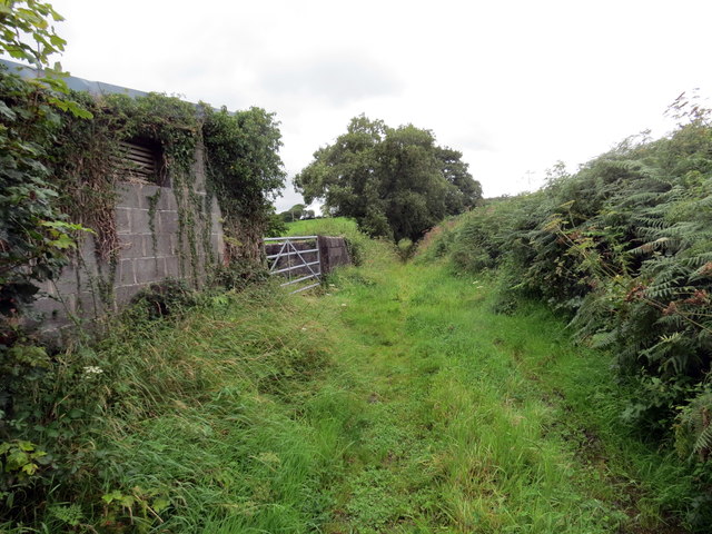
Image: © Alan Richards Taken: 19 Aug 2020
Llwybr ceffyl yn mynd i heibio i adeilad amaethyddol ger Dryslwyn. Yn anffodus, ar adeg ysgrifennu hwn mae rhannau o'r llwybr wedi'u rhwystro gan dyfiant trwchus. A bridleway passing an agricultural building near Dryslwyn (trans. a grove abounding with brambles). Unfortunately, at the time of writing sections of the path are obstructed by dense undergrowth.
Images are licensed for reuse under creativecommons.org/licenses/by-sa/2.0
Image Location
Latitude
51.871916
Longitude
-4.097283