Pennyquick Park
Introduction
The photograph on this page of Pennyquick Park by Derek Harper as part of the Geograph project.
The Geograph project started in 2005 with the aim of publishing, organising and preserving representative images for every square kilometre of Great Britain, Ireland and the Isle of Man.

There are currently over 7.5m images from over 14,400 individuals and you can help contribute to the project by visiting https://www.geograph.org.uk
Pennyquick Park
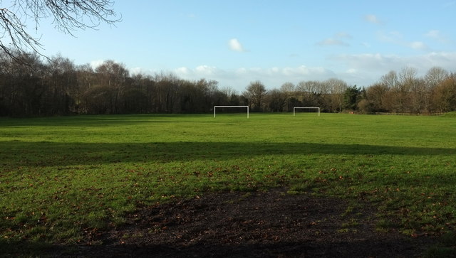
Image: © Derek Harper Taken: 9 Dec 2019
Goal posts at the southwestern side of the recration ground. This was formerly the site of Pennyquick Colliery and Quarry. "Opened in 1840, the spoil heap has been landscaped as a playing field. When it closed, the quarry was filled with demolition material from the 1942 blitz bombing on Bath" http://www.riveravontrail.org.uk/archive/carrs_wood_leaflet.pdf .
Images are licensed for reuse under creativecommons.org/licenses/by-sa/2.0
Image Location
Latitude
51.379374
Longitude
-2.409447