Flood defence embankment at Fiskerton
Introduction
The photograph on this page of Flood defence embankment at Fiskerton by Alan Murray-Rust as part of the Geograph project.
The Geograph project started in 2005 with the aim of publishing, organising and preserving representative images for every square kilometre of Great Britain, Ireland and the Isle of Man.

There are currently over 7.5m images from over 14,400 individuals and you can help contribute to the project by visiting https://www.geograph.org.uk
Flood defence embankment at Fiskerton
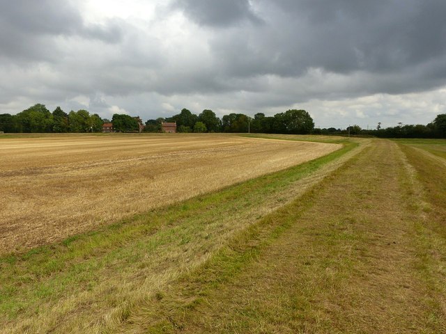
Image: © Alan Murray-Rust Taken: 17 Aug 2020
A public footpath runs along its crest, forming an alternative to the path direct across the field http://www.geograph.org.uk/photo/6573829
Images are licensed for reuse under creativecommons.org/licenses/by-sa/2.0
Image Location
Latitude
53.055182
Longitude
-0.896351