Large bilingual nameboard facing Rockfield Road, Monmouth
Introduction
The photograph on this page of Large bilingual nameboard facing Rockfield Road, Monmouth by Jaggery as part of the Geograph project.
The Geograph project started in 2005 with the aim of publishing, organising and preserving representative images for every square kilometre of Great Britain, Ireland and the Isle of Man.

There are currently over 7.5m images from over 14,400 individuals and you can help contribute to the project by visiting https://www.geograph.org.uk
Large bilingual nameboard facing Rockfield Road, Monmouth
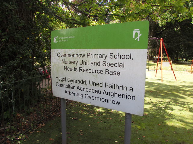
Image: © Jaggery Taken: 18 Aug 2020
In August 2020 the Monmouthshire County Council board shows "Overmonnow Primary School, Nursery Unit and Special Needs Resource Base" and its Welsh equivalent.
Images are licensed for reuse under creativecommons.org/licenses/by-sa/2.0
Image Location
Latitude
51.811599
Longitude
-2.724351