Milestone A419, Coates
Introduction
The photograph on this page of Milestone A419, Coates by Mr Red as part of the Geograph project.
The Geograph project started in 2005 with the aim of publishing, organising and preserving representative images for every square kilometre of Great Britain, Ireland and the Isle of Man.

There are currently over 7.5m images from over 14,400 individuals and you can help contribute to the project by visiting https://www.geograph.org.uk
Milestone A419, Coates
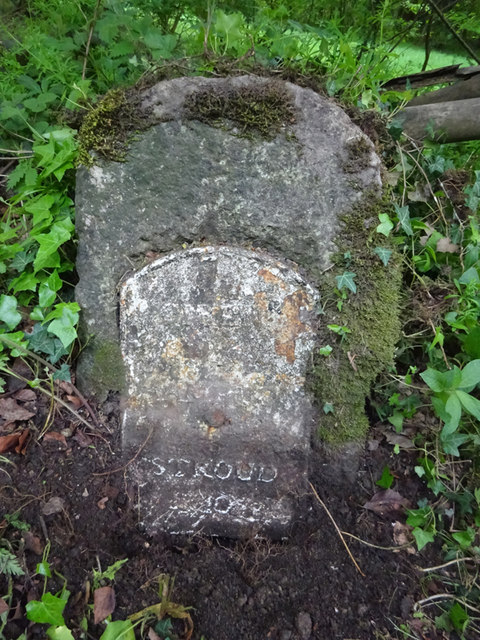
Image: © Mr Red Taken: 17 May 2019
Stroud 10 miles. Opposite Four Mile Lodge includes an Ordnance Survey Bench Mark 159.9m ASL (LHS under soil). More BMs in the area see http://benchmarks.mister.red/#coates Cirencester 4 / Stroud 10 Milestone Society ID: GL_CISD04
Images are licensed for reuse under creativecommons.org/licenses/by-sa/2.0
Image Location
Latitude
51.716445
Longitude
-2.056404