NW along Rockfield Road, Monmouth
Introduction
The photograph on this page of NW along Rockfield Road, Monmouth by Jaggery as part of the Geograph project.
The Geograph project started in 2005 with the aim of publishing, organising and preserving representative images for every square kilometre of Great Britain, Ireland and the Isle of Man.

There are currently over 7.5m images from over 14,400 individuals and you can help contribute to the project by visiting https://www.geograph.org.uk
NW along Rockfield Road, Monmouth
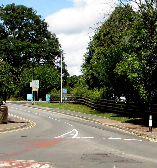
Image: © Jaggery Taken: 18 Aug 2020
The B4233 Rockfield Road northwest of the Watery Lane junction. The entrance to a Co-op is in the background.
Images are licensed for reuse under creativecommons.org/licenses/by-sa/2.0
Image Location
Latitude
51.812493
Longitude
-2.725236