Nottingham Road, Mansfield
Introduction
The photograph on this page of Nottingham Road, Mansfield by Richard Vince as part of the Geograph project.
The Geograph project started in 2005 with the aim of publishing, organising and preserving representative images for every square kilometre of Great Britain, Ireland and the Isle of Man.

There are currently over 7.5m images from over 14,400 individuals and you can help contribute to the project by visiting https://www.geograph.org.uk
Nottingham Road, Mansfield
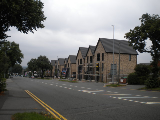
Image: © Richard Vince Taken: 15 Aug 2020
Descending towards the town centre from the junction with Robin Down Lane (just out of frame to the right). On the right, a development of new houses called Rockcliffe Grange is under construction.
Images are licensed for reuse under creativecommons.org/licenses/by-sa/2.0
Image Location
Latitude
53.124338
Longitude
-1.19062