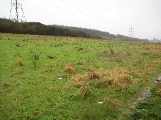
Dunstable: Cottage Bottom Fields Local Nature Reserve (2)
Introduction
The photograph on this page of Dunstable: Cottage Bottom Fields Local Nature Reserve (2) by Nigel Cox as part of the Geograph project.
The Geograph project started in 2005 with the aim of publishing, organising and preserving representative images for every square kilometre of Great Britain, Ireland and the Isle of Man.
There are currently over 7.5m images from over 14,400 individuals and you can help contribute to the project by visiting https://www.geograph.org.uk

Image: © Nigel Cox Taken: 11 Jan 2008
I visited this area in the hope of photographing the mediaeval cultivation terraces, known as strip lynchets, and shown on the Ordnance Survey mapping on the side of the downs. Unfortunately the terraces are covered in scrubby thorn vegetation, not really visible from this viewpoint, and the weather conditions were somewhat less than benign for exploration... However the whole side of the hill forms the 14 hectare Cottage Bottom Fields Local Nature Reserve. See Image for a view in the opposite direction.

