Footpath/cycle path into Low Crosby from A689 near East Lodge
Introduction
The photograph on this page of Footpath/cycle path into Low Crosby from A689 near East Lodge by Roger Templeman as part of the Geograph project.
The Geograph project started in 2005 with the aim of publishing, organising and preserving representative images for every square kilometre of Great Britain, Ireland and the Isle of Man.

There are currently over 7.5m images from over 14,400 individuals and you can help contribute to the project by visiting https://www.geograph.org.uk
Footpath/cycle path into Low Crosby from A689 near East Lodge
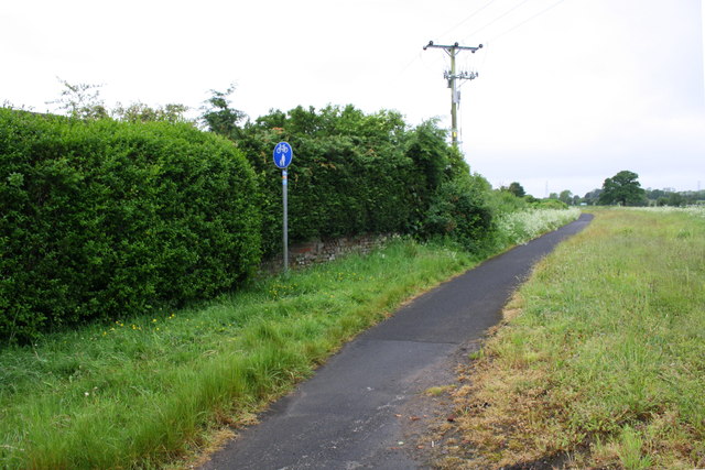
Image: © Roger Templeman Taken: 31 May 2019
This path is on the route of the old road with Crosby toll house where East Lodge is now. Ordnance Survey records show that in 1844 a benchmark levelled at 66.256 feet above Liverpool Datum was cut on the east jamb of the door of the toll house
Images are licensed for reuse under creativecommons.org/licenses/by-sa/2.0
Image Location
Latitude
54.927186
Longitude
-2.878329