Decrepit building
Introduction
The photograph on this page of Decrepit building by Carmen as part of the Geograph project.
The Geograph project started in 2005 with the aim of publishing, organising and preserving representative images for every square kilometre of Great Britain, Ireland and the Isle of Man.

There are currently over 7.5m images from over 14,400 individuals and you can help contribute to the project by visiting https://www.geograph.org.uk
Decrepit building
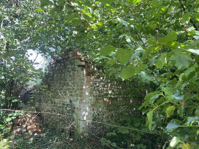
Image: © Carmen Taken: 9 Aug 2020
Unclear what this building was used for, potentially a pumping station. On older maps, there was another, large, building connected to it, potentially a house or agricultural building. The brickwork appears to be Georgian, mixed with lime and mortar. Today it is a shell slowly collapsing.
Images are licensed for reuse under creativecommons.org/licenses/by-sa/2.0
Image Location
Latitude
51.295149
Longitude
-1.483352