Junction of Watery Lane and Chartist Rise, Monmouth
Introduction
The photograph on this page of Junction of Watery Lane and Chartist Rise, Monmouth by Jaggery as part of the Geograph project.
The Geograph project started in 2005 with the aim of publishing, organising and preserving representative images for every square kilometre of Great Britain, Ireland and the Isle of Man.

There are currently over 7.5m images from over 14,400 individuals and you can help contribute to the project by visiting https://www.geograph.org.uk
Junction of Watery Lane and Chartist Rise, Monmouth
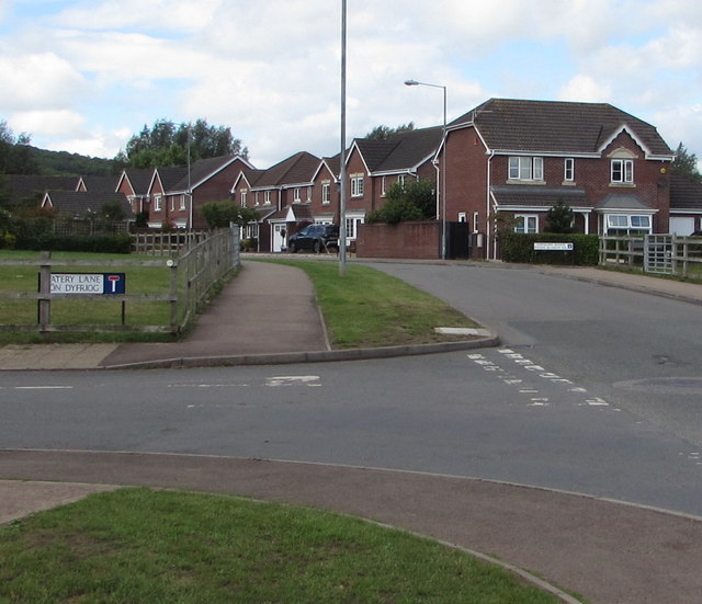
Image: © Jaggery Taken: 18 Aug 2020
Watery Lane behind the camera continues beyond the left edge of the photo. The bilingual name sign shows that Watery Lane is Lôn Dyfriog in Welsh. The road ahead is Chartist Rise.
Images are licensed for reuse under creativecommons.org/licenses/by-sa/2.0
Image Location
Latitude
51.811752
Longitude
-2.728706