Footpath Near Ongar Hall farm
Introduction
The photograph on this page of Footpath Near Ongar Hall farm by Glyn Baker as part of the Geograph project.
The Geograph project started in 2005 with the aim of publishing, organising and preserving representative images for every square kilometre of Great Britain, Ireland and the Isle of Man.

There are currently over 7.5m images from over 14,400 individuals and you can help contribute to the project by visiting https://www.geograph.org.uk
Footpath Near Ongar Hall farm
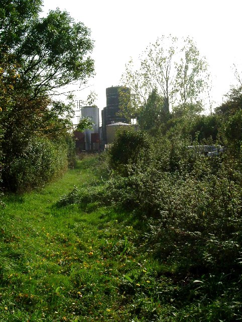
Image: © Glyn Baker Taken: 15 Oct 2005
I am not 100% sure if the holding tanks in the background are chemical tanks for the fibreglass works (A1 GRP Ltd) that is on Ongar Hall Farm or for foodstuffs. The road tankers in the yard were marked “Foodstuff Only”, however there was plenty of evidence of industrial chemical containers in the yard. The picture was taken looking south along the footpath that runs from the A128 to Little Malgraves on Lower Dunton Rd. The footpath has been diverted and now takes a 90-degree turn to the right before the farmyard rather than running through it.
Images are licensed for reuse under creativecommons.org/licenses/by-sa/2.0
Image Location


Leaflet Map data © OpenStreetMap
Latitude
51.536191
Longitude
0.37766