Earthquake House, Comrie
Introduction
The photograph on this page of Earthquake House, Comrie by Gordon Brown as part of the Geograph project.
The Geograph project started in 2005 with the aim of publishing, organising and preserving representative images for every square kilometre of Great Britain, Ireland and the Isle of Man.

There are currently over 7.5m images from over 14,400 individuals and you can help contribute to the project by visiting https://www.geograph.org.uk
Earthquake House, Comrie
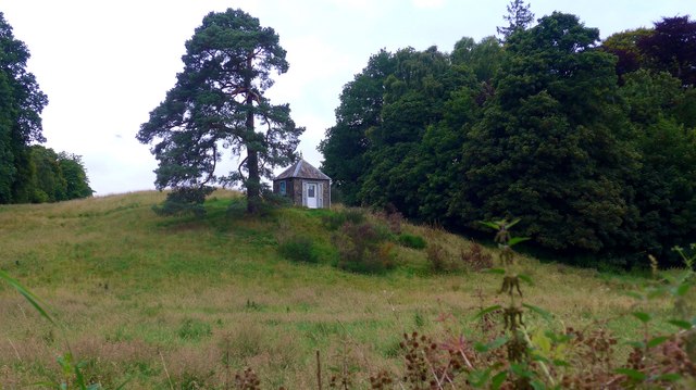
Image: © Gordon Brown Taken: 16 Aug 2020
See also Image The site of the world's first seismometer (established in 1874). This is as a result of Comrie's position astride the Highland Boundary Fault meaning that Comrie records earth tremors more often and to a higher intensity than anywhere else in the United Kingdom.
Images are licensed for reuse under creativecommons.org/licenses/by-sa/2.0
Image Location
Latitude
56.373136
Longitude
-4.000866