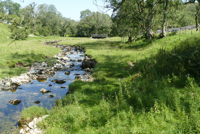
Lyvennet Beck
Introduction
The photograph on this page of Lyvennet Beck by Andy Waddington as part of the Geograph project.
The Geograph project started in 2005 with the aim of publishing, organising and preserving representative images for every square kilometre of Great Britain, Ireland and the Isle of Man.
There are currently over 7.5m images from over 14,400 individuals and you can help contribute to the project by visiting https://www.geograph.org.uk

Image: © Andy Waddington Taken: 15 Aug 2020
Lyvennet Beck has very clear water (well, until our collie decided to go paddling) as it is largely fed from limestone springs below Crosby Ravensworth Fell. The level was pretty low on this mid-August day (it was raining at home east of the Pennines, but gloriously sunny to the west of Mallerstang Edge). The photo is taken from the footbridge on one variant of the public footpath from Orton to Crosby Ravensworth, looking downstream to the similar footbridge on the other variant which follows a track from Crosby Lodge (there is a ford on the near side of that bridge for vehicles).

