View up the valley from Mountsett
Introduction
The photograph on this page of View up the valley from Mountsett by Robert Graham as part of the Geograph project.
The Geograph project started in 2005 with the aim of publishing, organising and preserving representative images for every square kilometre of Great Britain, Ireland and the Isle of Man.

There are currently over 7.5m images from over 14,400 individuals and you can help contribute to the project by visiting https://www.geograph.org.uk
View up the valley from Mountsett
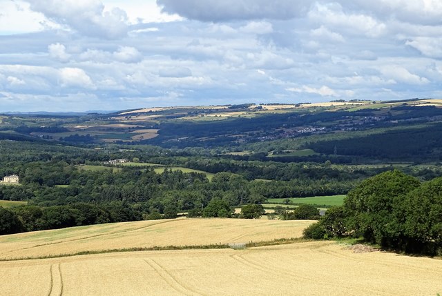
Image: © Robert Graham Taken: 3 Aug 2020
A view looking west up the Derwent Valley from the path along Mountsett Fell. This is on the top of the southern slope of the valley, hence the good views. Hamsterley Hall can be seen on the extreme left. The farm in the woods to the right of here is High Hamsterley.
Images are licensed for reuse under creativecommons.org/licenses/by-sa/2.0
Image Location
Latitude
54.890742
Longitude
-1.749128