Former Mauchline Road Church
Introduction
The photograph on this page of Former Mauchline Road Church by Mary and Angus Hogg as part of the Geograph project.
The Geograph project started in 2005 with the aim of publishing, organising and preserving representative images for every square kilometre of Great Britain, Ireland and the Isle of Man.

There are currently over 7.5m images from over 14,400 individuals and you can help contribute to the project by visiting https://www.geograph.org.uk
Former Mauchline Road Church
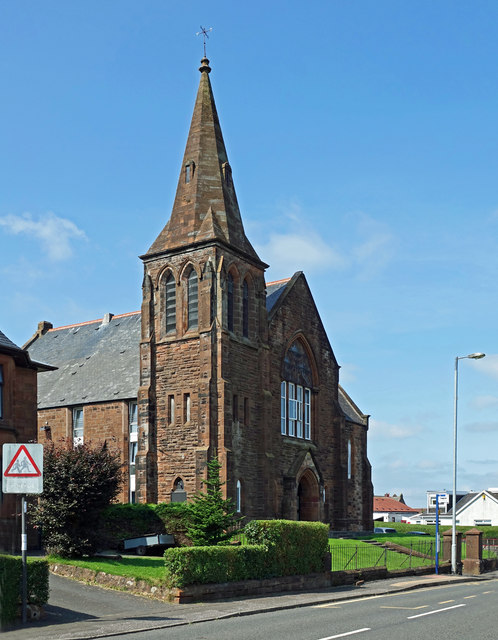
Image: © Mary and Angus Hogg Taken: 13 Aug 2020
Now converted for housing, the old church was used as a hostel for the Women's Land Army during the second World War.
Images are licensed for reuse under creativecommons.org/licenses/by-sa/2.0
Image Location
Latitude
55.598792
Longitude
-4.453499