Penparcau
Introduction
The photograph on this page of Penparcau by John Lucas as part of the Geograph project.
The Geograph project started in 2005 with the aim of publishing, organising and preserving representative images for every square kilometre of Great Britain, Ireland and the Isle of Man.

There are currently over 7.5m images from over 14,400 individuals and you can help contribute to the project by visiting https://www.geograph.org.uk
Penparcau
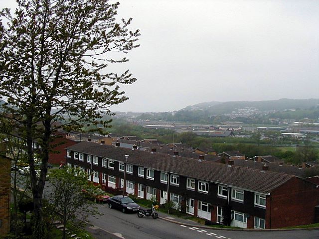
Image: © John Lucas Taken: 9 May 2004
A view over the mostly ex-local authority housing estate at Penparcau, as seen from Garth Dinas.
Images are licensed for reuse under creativecommons.org/licenses/by-sa/2.0
Image Location
Latitude
52.40084
Longitude
-4.065689