Ythan Pasture before Schivas
Introduction
The photograph on this page of Ythan Pasture before Schivas by Andrew Wood as part of the Geograph project.
The Geograph project started in 2005 with the aim of publishing, organising and preserving representative images for every square kilometre of Great Britain, Ireland and the Isle of Man.

There are currently over 7.5m images from over 14,400 individuals and you can help contribute to the project by visiting https://www.geograph.org.uk
Ythan Pasture before Schivas
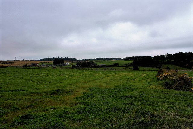
Image: © Andrew Wood Taken: 13 Aug 2020
Grassland by Ythanside with a cluster of houses at Mill of Schivas on the far bank.
Images are licensed for reuse under creativecommons.org/licenses/by-sa/2.0
Image Location
Latitude
57.409311
Longitude
-2.176912