Development work at Maybole's Ladyland Road
Introduction
The photograph on this page of Development work at Maybole's Ladyland Road by Mary and Angus Hogg as part of the Geograph project.
The Geograph project started in 2005 with the aim of publishing, organising and preserving representative images for every square kilometre of Great Britain, Ireland and the Isle of Man.

There are currently over 7.5m images from over 14,400 individuals and you can help contribute to the project by visiting https://www.geograph.org.uk
Development work at Maybole's Ladyland Road
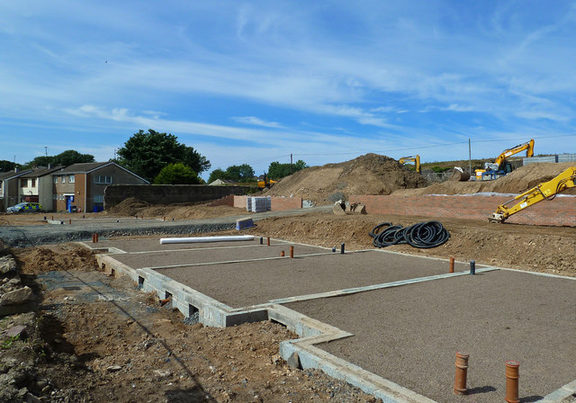
Image: © Mary and Angus Hogg Taken: 9 Aug 2020
After the lockdown stoppage, work has restarted on the site at Maybole's Ladyland Road where new houses will replace the ruins of the former Community Centre - see Image for a 2014 view of this scene.
Images are licensed for reuse under creativecommons.org/licenses/by-sa/2.0
Image Location
Latitude
55.352726
Longitude
-4.68673