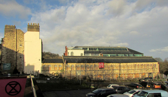
Cornmarket, Bath
Introduction
The photograph on this page of Cornmarket, Bath by Derek Harper as part of the Geograph project.
The Geograph project started in 2005 with the aim of publishing, organising and preserving representative images for every square kilometre of Great Britain, Ireland and the Isle of Man.
There are currently over 7.5m images from over 14,400 individuals and you can help contribute to the project by visiting https://www.geograph.org.uk

Image: © Derek Harper Taken: 8 Dec 2019
"1855. By GP Manners ... The size of the market building and its attached yard indicate the importance of Bath as an agricultural centre at this date, and of this part of the city as a long-established market area. Cotterell's 1852 plan of Bath shows there to have been a cattle market a short distance to the south" https://historicengland.org.uk/listing/the-list/list-entry/1395552 . The building is also shown under scaffolding seven years earlier at Image On the left is 62, Walcot Street https://historicengland.org.uk/listing/the-list/list-entry/1395551 , "remodelled to form entrance to corn market. c1770 with alterations of 1855 by GP Manners" Image . Behind the Cornmarket is The Tramshed Image

