Grange Road, Tillingham
Introduction
The photograph on this page of Grange Road, Tillingham by Robin Webster as part of the Geograph project.
The Geograph project started in 2005 with the aim of publishing, organising and preserving representative images for every square kilometre of Great Britain, Ireland and the Isle of Man.

There are currently over 7.5m images from over 14,400 individuals and you can help contribute to the project by visiting https://www.geograph.org.uk
Grange Road, Tillingham
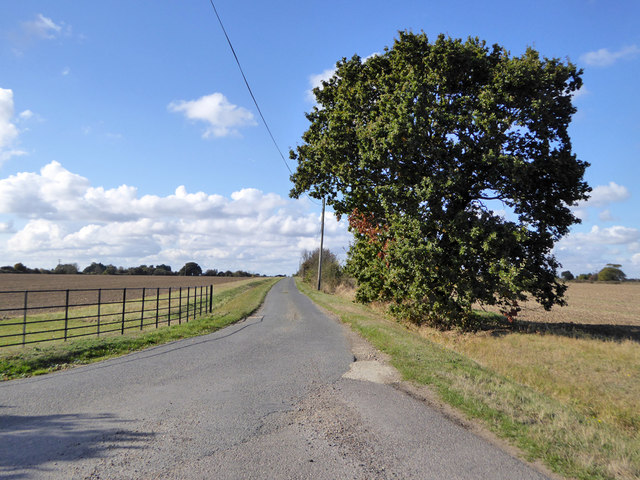
Image: © Robin Webster Taken: 22 Oct 2016
Looking back from the end of the public road where the private routes to Orange Farm (formerly Grange Farm) and Howe Farm diverge. A public footpath to the sea wall follows the Howe Farm road at first, behind the camera.
Images are licensed for reuse under creativecommons.org/licenses/by-sa/2.0
Image Location


Leaflet Map data © OpenStreetMap
Latitude
51.68322
Longitude
0.909236