St Michael's Avenue, Highworth
Introduction
The photograph on this page of St Michael's Avenue, Highworth by Des Blenkinsopp as part of the Geograph project.
The Geograph project started in 2005 with the aim of publishing, organising and preserving representative images for every square kilometre of Great Britain, Ireland and the Isle of Man.

There are currently over 7.5m images from over 14,400 individuals and you can help contribute to the project by visiting https://www.geograph.org.uk
St Michael's Avenue, Highworth
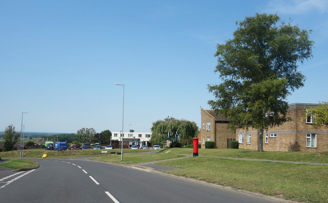
Image: © Des Blenkinsopp Taken: 8 Aug 2020
The main neighbourhood road, it loops round connecting all the residential no through roads which make up this area.
Images are licensed for reuse under creativecommons.org/licenses/by-sa/2.0
Image Location
Latitude
51.632586
Longitude
-1.715468