Abingdon Marina from Abingdon Marina Park
Introduction
The photograph on this page of Abingdon Marina from Abingdon Marina Park by Jim Champion as part of the Geograph project.
The Geograph project started in 2005 with the aim of publishing, organising and preserving representative images for every square kilometre of Great Britain, Ireland and the Isle of Man.

There are currently over 7.5m images from over 14,400 individuals and you can help contribute to the project by visiting https://www.geograph.org.uk
Abingdon Marina from Abingdon Marina Park
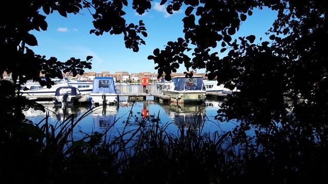
Image: © Jim Champion Taken: 20 Jul 2020
Looking across Abingdon Marina from the path that does a circuit around Abingdon Marina Park. In 1998, planning permission was granted for the marina facilities, as part of the comprehensive redevelopment of the area. The park is on an isthmus of dry land with the marina to the west and the River Thames to the north and east. Access to the park is down the functionally-named South Quay road, signposted 'River' from West Quay.
Images are licensed for reuse under creativecommons.org/licenses/by-sa/2.0
Image Location
Latitude
51.657793
Longitude
-1.280755