Higham Toll cross roads
Introduction
The photograph on this page of Higham Toll cross roads by Jim Bain as part of the Geograph project.
The Geograph project started in 2005 with the aim of publishing, organising and preserving representative images for every square kilometre of Great Britain, Ireland and the Isle of Man.

There are currently over 7.5m images from over 14,400 individuals and you can help contribute to the project by visiting https://www.geograph.org.uk
Higham Toll cross roads
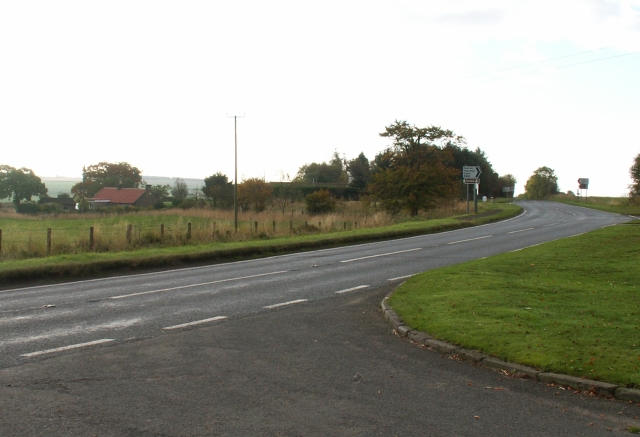
Image: © Jim Bain Taken: 15 Oct 2005
Higham Toll cross roads where the East West B940 Peat Inn to Crail road crosses the North South St Andrews to Largo Ward A915. At 184 mts above sea level this highest point on this road. Taken looking due South from the A915.
Images are licensed for reuse under creativecommons.org/licenses/by-sa/2.0
Image Location


Leaflet Map data © OpenStreetMap
Latitude
56.274157
Longitude
-2.849371