Rediscovered Benchmark
Introduction
The photograph on this page of Rediscovered Benchmark by Matthew Hatton as part of the Geograph project.
The Geograph project started in 2005 with the aim of publishing, organising and preserving representative images for every square kilometre of Great Britain, Ireland and the Isle of Man.

There are currently over 7.5m images from over 14,400 individuals and you can help contribute to the project by visiting https://www.geograph.org.uk
Rediscovered Benchmark
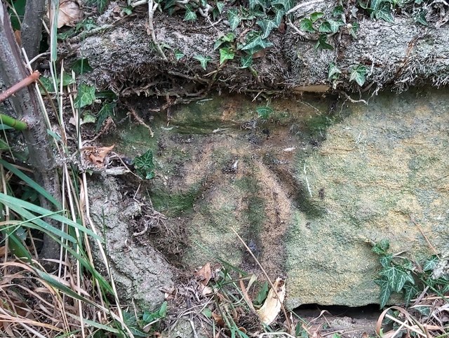
Image: © Matthew Hatton Taken: 23 Jul 2020
Previously hidden behind ivy roots on the gable end of a barn in Crimble Dale. This is a really nice mark, and was last recorded in 1970.
Images are licensed for reuse under creativecommons.org/licenses/by-sa/2.0
Image Location
Latitude
54.173781
Longitude
-1.646401