Roadside Barn
Introduction
The photograph on this page of Roadside Barn by Matthew Hatton as part of the Geograph project.
The Geograph project started in 2005 with the aim of publishing, organising and preserving representative images for every square kilometre of Great Britain, Ireland and the Isle of Man.

There are currently over 7.5m images from over 14,400 individuals and you can help contribute to the project by visiting https://www.geograph.org.uk
Roadside Barn
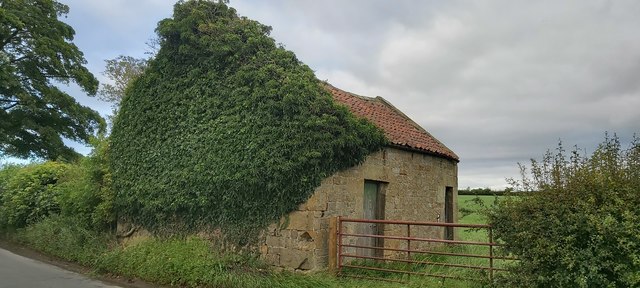
Image: © Matthew Hatton Taken: 23 Jul 2020
To the left the road is Grewelthorpe Lane, to the right it is Kirkby Lane. This agricultural building, along with its covering of ivy on the north gable end have done their best to hide a Cut Benchmark, before I rediscovered it with the use of a fold out saw. It has a recorded spot height of 485.3ft asl and was marked on the 1st Series OS Maps 1854.
Images are licensed for reuse under creativecommons.org/licenses/by-sa/2.0
Image Location
Latitude
54.17378
Longitude
-1.645941