Footpath, Holywell Dene
Introduction
The photograph on this page of Footpath, Holywell Dene by Geoff Holland as part of the Geograph project.
The Geograph project started in 2005 with the aim of publishing, organising and preserving representative images for every square kilometre of Great Britain, Ireland and the Isle of Man.

There are currently over 7.5m images from over 14,400 individuals and you can help contribute to the project by visiting https://www.geograph.org.uk
Footpath, Holywell Dene
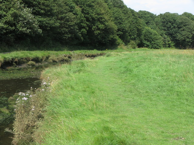
Image: © Geoff Holland Taken: 11 Aug 2020
This faint informal footpath heading towards Seaton Sluice follows the east bank of the Seaton Burn, which at this point is tidal, and passes through the flood plain. For a selection of detailed free to download walking routes in the area visit www.northtynesidewalks.co.uk
Images are licensed for reuse under creativecommons.org/licenses/by-sa/2.0
Image Location
Latitude
55.078864
Longitude
-1.478235