The Bank Burn
Introduction
The photograph on this page of The Bank Burn by M J Richardson as part of the Geograph project.
The Geograph project started in 2005 with the aim of publishing, organising and preserving representative images for every square kilometre of Great Britain, Ireland and the Isle of Man.

There are currently over 7.5m images from over 14,400 individuals and you can help contribute to the project by visiting https://www.geograph.org.uk
The Bank Burn
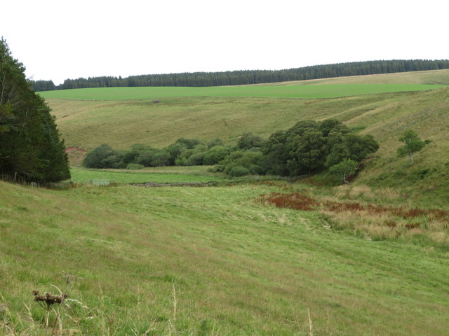
Image: © M J Richardson Taken: 9 Aug 2020
A small tributary of the Bothwell Water, draining Crichness Hill and the east side of Crichness Law. The forestry on the skyline is part of the Upper Monynut Forest.
Images are licensed for reuse under creativecommons.org/licenses/by-sa/2.0
Image Location


Leaflet Map data © OpenStreetMap
Latitude
55.883863
Longitude
-2.504161