Temporary access road to Stableford development
Introduction
The photograph on this page of Temporary access road to Stableford development by Chris Allen as part of the Geograph project.
The Geograph project started in 2005 with the aim of publishing, organising and preserving representative images for every square kilometre of Great Britain, Ireland and the Isle of Man.

There are currently over 7.5m images from over 14,400 individuals and you can help contribute to the project by visiting https://www.geograph.org.uk
Temporary access road to Stableford development
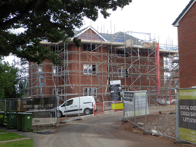
Image: © Chris Allen Taken: 11 Aug 2020
At least I hope it is temporary while work is being undertaken on the access from Newtown Road. This access is from Aconbury Close and is also across a footpath that is currently closed (again I hope that is temporary).
Images are licensed for reuse under creativecommons.org/licenses/by-sa/2.0
Image Location
Latitude
52.194801
Longitude
-2.185459