Stream below Coed Ithel
Introduction
The photograph on this page of Stream below Coed Ithel by M J Roscoe as part of the Geograph project.
The Geograph project started in 2005 with the aim of publishing, organising and preserving representative images for every square kilometre of Great Britain, Ireland and the Isle of Man.

There are currently over 7.5m images from over 14,400 individuals and you can help contribute to the project by visiting https://www.geograph.org.uk
Stream below Coed Ithel
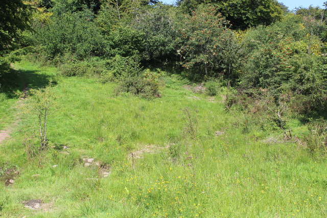
Image: © M J Roscoe Taken: 7 Aug 2020
The almost dry stream runs across the foreground. On the extreme left is a path leading to a track to Mynydd Garn-wen. To the right the route of another path is barely visible.
Images are licensed for reuse under creativecommons.org/licenses/by-sa/2.0
Image Location
Latitude
51.722895
Longitude
-3.031878