Direction Sign ? Signpost
Introduction
The photograph on this page of Direction Sign ? Signpost by J Mann as part of the Geograph project.
The Geograph project started in 2005 with the aim of publishing, organising and preserving representative images for every square kilometre of Great Britain, Ireland and the Isle of Man.

There are currently over 7.5m images from over 14,400 individuals and you can help contribute to the project by visiting https://www.geograph.org.uk
Direction Sign ? Signpost
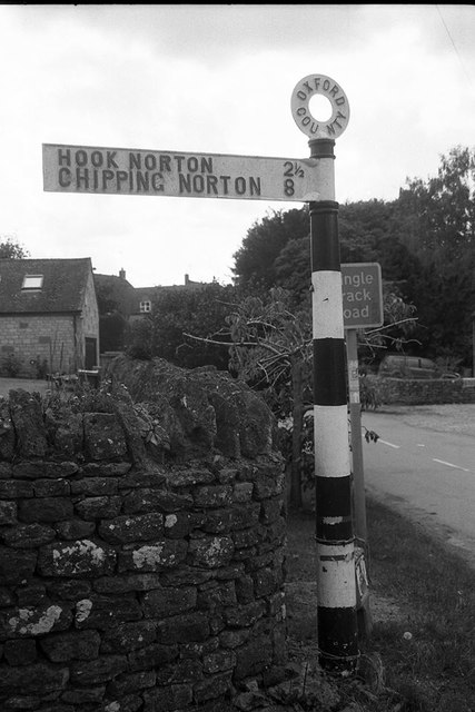
Image: © J Mann Taken: 14 Jun 2020
Located on the west side of the junction of Hook Norton Road and Woodway Road in Sibford Ferris parish. 1 arm and annulus finial. See also http://www.flickr.com/photos/13171205@N08/3964380176. Milestone Society National ID: OX_SP3537
Images are licensed for reuse under creativecommons.org/licenses/by-sa/2.0
Image Location
Latitude
52.032887
Longitude
-1.483788