Denham Methodist chapel (disused)
Introduction
The photograph on this page of Denham Methodist chapel (disused) by IG Liddell as part of the Geograph project.
The Geograph project started in 2005 with the aim of publishing, organising and preserving representative images for every square kilometre of Great Britain, Ireland and the Isle of Man.

There are currently over 7.5m images from over 14,400 individuals and you can help contribute to the project by visiting https://www.geograph.org.uk
Denham Methodist chapel (disused)
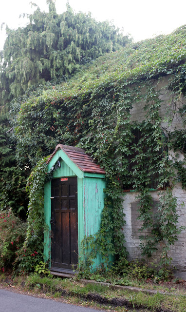
Image: © IG Liddell Taken: 10 Aug 2020
Taken 10 August 2020: it is said (by a neighbour) that the building is being used as a bicycle shed.
Images are licensed for reuse under creativecommons.org/licenses/by-sa/2.0
Image Location
Latitude
51.57001
Longitude
-0.501292