Entering Trefeglwys
Introduction
The photograph on this page of Entering Trefeglwys by John Lucas as part of the Geograph project.
The Geograph project started in 2005 with the aim of publishing, organising and preserving representative images for every square kilometre of Great Britain, Ireland and the Isle of Man.

There are currently over 7.5m images from over 14,400 individuals and you can help contribute to the project by visiting https://www.geograph.org.uk
Entering Trefeglwys
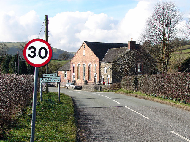
Image: © John Lucas Taken: 18 Feb 2006
With Gleiniant Calvinistic Methodist Chapel and its associated British School prominent in the view.
Images are licensed for reuse under creativecommons.org/licenses/by-sa/2.0
Image Location
Latitude
52.508272
Longitude
-3.514168