Upper balancing pond, Sharp Lane Plantations
Introduction
The photograph on this page of Upper balancing pond, Sharp Lane Plantations by Stephen Craven as part of the Geograph project.
The Geograph project started in 2005 with the aim of publishing, organising and preserving representative images for every square kilometre of Great Britain, Ireland and the Isle of Man.

There are currently over 7.5m images from over 14,400 individuals and you can help contribute to the project by visiting https://www.geograph.org.uk
Upper balancing pond, Sharp Lane Plantations
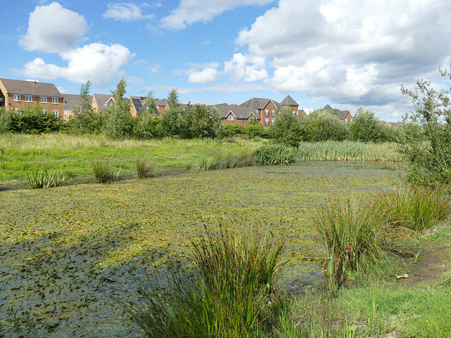
Image: © Stephen Craven Taken: 2 Aug 2020
One of two balancing ponds to reduce flooding risk from stormwater runoff from the large housing estate.
Images are licensed for reuse under creativecommons.org/licenses/by-sa/2.0
Image Location
Latitude
53.743313
Longitude
-1.528876