Towards the Odd Hill
Introduction
The photograph on this page of Towards the Odd Hill by Des Blenkinsopp as part of the Geograph project.
The Geograph project started in 2005 with the aim of publishing, organising and preserving representative images for every square kilometre of Great Britain, Ireland and the Isle of Man.

There are currently over 7.5m images from over 14,400 individuals and you can help contribute to the project by visiting https://www.geograph.org.uk
Towards the Odd Hill
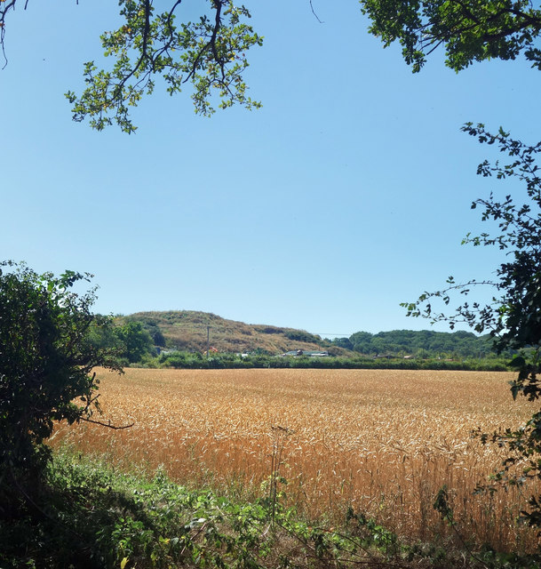
Image: © Des Blenkinsopp Taken: 7 Aug 2020
Looking almost natural, with trees starting to cover it, this large mound rises suddenly in the midst of flat farmland. In other parts of the country it could be mine waste or something, but not in Berkshire. I'm not sure what it is or why it's here. It's at a place called Pickins Farm on the map, but the notice by the approach road calls it Trump Farm. Needless to say, that complicates a web search. (written in 2020) Fortunately, it's in the square to the south, so for now this is just another picture of farmland.
Images are licensed for reuse under creativecommons.org/licenses/by-sa/2.0
Image Location
Latitude
51.469531
Longitude
-0.723097