Nos. 269 & 265 Halifax Road
Introduction
The photograph on this page of Nos. 269 & 265 Halifax Road by Roger Templeman as part of the Geograph project.
The Geograph project started in 2005 with the aim of publishing, organising and preserving representative images for every square kilometre of Great Britain, Ireland and the Isle of Man.

There are currently over 7.5m images from over 14,400 individuals and you can help contribute to the project by visiting https://www.geograph.org.uk
Nos. 269 & 265 Halifax Road
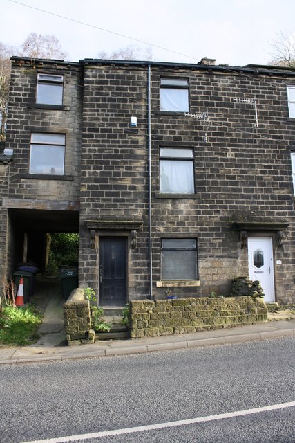
Image: © Roger Templeman Taken: 17 Nov 2017
There is an Ordnance Survey cut mark benchmark levelled at 176.114m above Newlyn Datum on the road end of the stone wall abutting No. 269 on the left hand side of its brown door
Images are licensed for reuse under creativecommons.org/licenses/by-sa/2.0
Image Location
Latitude
53.843799
Longitude
-1.9223