West Kennett buildings [3]
Introduction
The photograph on this page of West Kennett buildings [3] by Michael Dibb as part of the Geograph project.
The Geograph project started in 2005 with the aim of publishing, organising and preserving representative images for every square kilometre of Great Britain, Ireland and the Isle of Man.

There are currently over 7.5m images from over 14,400 individuals and you can help contribute to the project by visiting https://www.geograph.org.uk
West Kennett buildings [3]
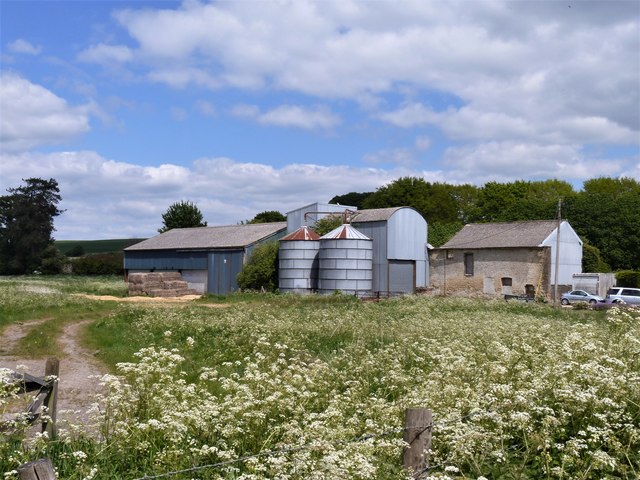
Image: © Michael Dibb Taken: 15 May 2020
Seen from the A4 road are some farm buildings of West Kennett Farm. The small village of West Kennet sits astride the Old Bath Road, now the A4, which was the Roman road between London and Bath. The village is best known for the West Kennet Long Barrow one of the largest, most impressive and most accessible Neolithic chambered tombs in Britain.
Images are licensed for reuse under creativecommons.org/licenses/by-sa/2.0
Image Location


Leaflet Map data © OpenStreetMap
Latitude
51.414509
Longitude
-1.83991