East Fingask
Introduction
The photograph on this page of East Fingask by Andrew Wood as part of the Geograph project.
The Geograph project started in 2005 with the aim of publishing, organising and preserving representative images for every square kilometre of Great Britain, Ireland and the Isle of Man.

There are currently over 7.5m images from over 14,400 individuals and you can help contribute to the project by visiting https://www.geograph.org.uk
East Fingask
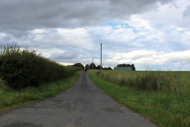
Image: © Andrew Wood Taken: 7 Aug 2020
East Fingask Farm near Oldmeldrum. During the war a satellite airfield was constructed here and a squadron was dispersed, until they discovered the ground was too soft! Interestingly O/S gives the spelling as Fingusk on some levels and Fingask on others!
Images are licensed for reuse under creativecommons.org/licenses/by-sa/2.0
Image Location
Latitude
57.336839
Longitude
-2.373741