Cottage at The Grange
Introduction
The photograph on this page of Cottage at The Grange by Gordon Hatton as part of the Geograph project.
The Geograph project started in 2005 with the aim of publishing, organising and preserving representative images for every square kilometre of Great Britain, Ireland and the Isle of Man.

There are currently over 7.5m images from over 14,400 individuals and you can help contribute to the project by visiting https://www.geograph.org.uk
Cottage at The Grange
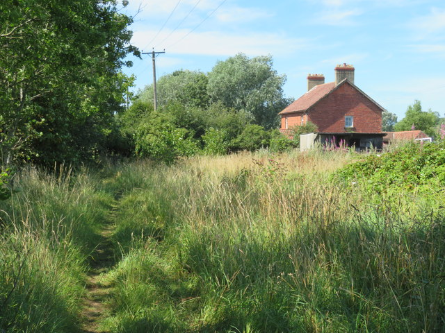
Image: © Gordon Hatton Taken: 8 Aug 2020
The paths as shown on the map and the reality on the ground are somewhat different here. My slightly older edition map shows the bridleway a few metres further south and actually in the water! West from here the path is shown as being to the left of fences and close by the lake edge, but that is impassable and the route appears to keep to the right of any fence.
Images are licensed for reuse under creativecommons.org/licenses/by-sa/2.0
Image Location
Latitude
54.404185
Longitude
-1.636258