Ensbury Park: Kingsbere Avenue
Introduction
The photograph on this page of Ensbury Park: Kingsbere Avenue by Chris Downer as part of the Geograph project.
The Geograph project started in 2005 with the aim of publishing, organising and preserving representative images for every square kilometre of Great Britain, Ireland and the Isle of Man.

There are currently over 7.5m images from over 14,400 individuals and you can help contribute to the project by visiting https://www.geograph.org.uk
Ensbury Park: Kingsbere Avenue
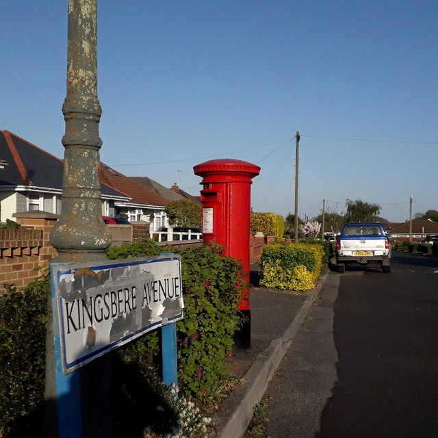
Image: © Chris Downer Taken: 14 Apr 2020
A steepish road descending from the main Kinson Road to Priestley Road, lined with bungalows typical of Ensbury Park and with a low hedge between pavement and roadway. The sign is of a design that became prevalent in Bournemouth around 1990 and was in use for most of that decade. Many are starting to look a bit shabby now, the white surface often starting to peel as here, though the blue border has seen little fading unlike many. This is photo no.223 of a series of 453 in my coronavirus lockdown walking project: See https://www.geograph.org.uk/article/My-2020-Coronavirus-Lockdown-walking-project for the complete set of photos.
Images are licensed for reuse under creativecommons.org/licenses/by-sa/2.0
Image Location
Latitude
50.751321
Longitude
-1.904408