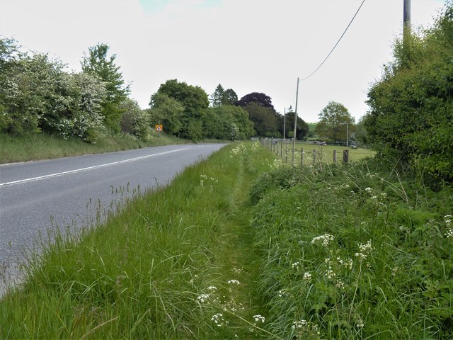
From East Kennett to Overton Down and return [90]
Introduction
The photograph on this page of From East Kennett to Overton Down and return [90] by Michael Dibb as part of the Geograph project.
The Geograph project started in 2005 with the aim of publishing, organising and preserving representative images for every square kilometre of Great Britain, Ireland and the Isle of Man.
There are currently over 7.5m images from over 14,400 individuals and you can help contribute to the project by visiting https://www.geograph.org.uk

Image: © Michael Dibb Taken: 15 May 2020
As the path across the River Kennet was flooded, it was necessary to walk along the verge of the A4 road to George Bridge. From East Kennett the walk passes The Sanctuary and, after crossing the A4 road, follows The Ridgeway to Overton Down. A right turn onto Herepath leads to Fyfield Down then footpaths and a bridleway lead back to West Overton village and a minor road runs back to the start. Just over 5½ miles.

