Old Reservoir
Introduction
The photograph on this page of Old Reservoir by Anne Burgess as part of the Geograph project.
The Geograph project started in 2005 with the aim of publishing, organising and preserving representative images for every square kilometre of Great Britain, Ireland and the Isle of Man.

There are currently over 7.5m images from over 14,400 individuals and you can help contribute to the project by visiting https://www.geograph.org.uk
Old Reservoir
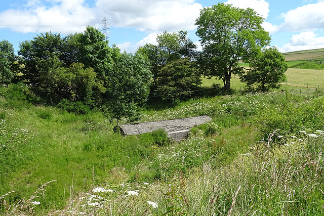
Image: © Anne Burgess Taken: 21 Jul 2020
The first edition of the six-inch Ordnance Survey maps shows a well here, but the second editon of the 25-inch map, surveyed half a century later, shows a reservoir.
Images are licensed for reuse under creativecommons.org/licenses/by-sa/2.0
Image Location
Latitude
57.53071
Longitude
-2.962726