Chapel Street, Eaton
Introduction
The photograph on this page of Chapel Street, Eaton by Kate Jewell as part of the Geograph project.
The Geograph project started in 2005 with the aim of publishing, organising and preserving representative images for every square kilometre of Great Britain, Ireland and the Isle of Man.

There are currently over 7.5m images from over 14,400 individuals and you can help contribute to the project by visiting https://www.geograph.org.uk
Chapel Street, Eaton
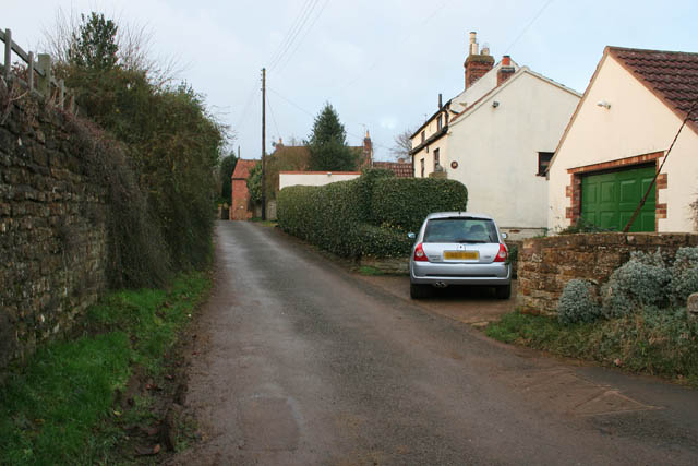
Image: © Kate Jewell Taken: 5 Jan 2008
Eaton sits across the boundary of two squares. The garage in the foreground is in Image and the cottage and road junction are in Image
Images are licensed for reuse under creativecommons.org/licenses/by-sa/2.0
Image Location
Latitude
52.852536
Longitude
-0.81967