The West Swale at Queenborough
Introduction
The photograph on this page of The West Swale at Queenborough by Marathon as part of the Geograph project.
The Geograph project started in 2005 with the aim of publishing, organising and preserving representative images for every square kilometre of Great Britain, Ireland and the Isle of Man.

There are currently over 7.5m images from over 14,400 individuals and you can help contribute to the project by visiting https://www.geograph.org.uk
The West Swale at Queenborough
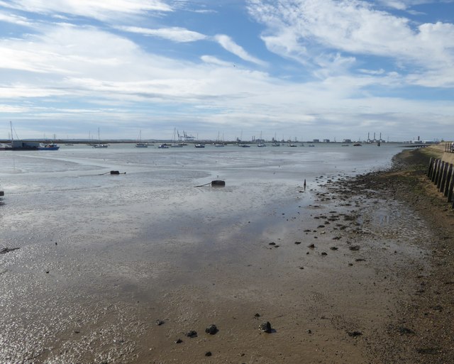
Image: © Marathon Taken: 4 Aug 2020
King Edward III had the town renamed after his Queen, Philippa of Hainault, and conferred upon it the rights of a free borough, with a governing body of a mayor and two bailiffs. He granted Queenborough a charter in 1366 and two years later bestowed the duties of a royal borough upon it. A full history of this interesting place can be seen at https://en.wikipedia.org/wiki/Queenborough This view is from the seafront. The cranes in the centre are on the Isle of Grain.
Images are licensed for reuse under creativecommons.org/licenses/by-sa/2.0
Image Location
Latitude
51.418033
Longitude
0.739454