The Park
Introduction
The photograph on this page of The Park by Ian Capper as part of the Geograph project.
The Geograph project started in 2005 with the aim of publishing, organising and preserving representative images for every square kilometre of Great Britain, Ireland and the Isle of Man.

There are currently over 7.5m images from over 14,400 individuals and you can help contribute to the project by visiting https://www.geograph.org.uk
The Park
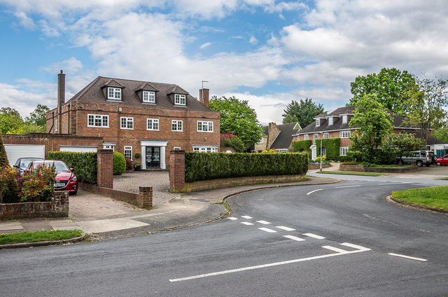
Image: © Ian Capper Taken: 1 May 2020
Elongated crescent of upmarket houses off Faircross Way (in the right background), shown on the 1937-9 1:2,500 laid out but undeveloped bar one house.
Images are licensed for reuse under creativecommons.org/licenses/by-sa/2.0
Image Location
Latitude
51.76093
Longitude
-0.313719