Jennings Road
Introduction
The photograph on this page of Jennings Road by Ian Capper as part of the Geograph project.
The Geograph project started in 2005 with the aim of publishing, organising and preserving representative images for every square kilometre of Great Britain, Ireland and the Isle of Man.

There are currently over 7.5m images from over 14,400 individuals and you can help contribute to the project by visiting https://www.geograph.org.uk
Jennings Road
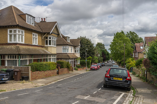
Image: © Ian Capper Taken: 25 Jul 2020
Houses in Jennings Road, the two seen here first appearing on the 1924 1:2,500 map.
Images are licensed for reuse under creativecommons.org/licenses/by-sa/2.0
Image Location
Latitude
51.756888
Longitude
-0.323505