The valley of How Beck
Introduction
The photograph on this page of The valley of How Beck by Gordon Hatton as part of the Geograph project.
The Geograph project started in 2005 with the aim of publishing, organising and preserving representative images for every square kilometre of Great Britain, Ireland and the Isle of Man.

There are currently over 7.5m images from over 14,400 individuals and you can help contribute to the project by visiting https://www.geograph.org.uk
The valley of How Beck
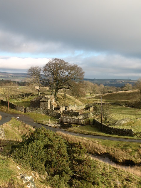
Image: © Gordon Hatton Taken: 12 Jan 2008
A moorland beck which has carved an attractive little valley on the southern flanks of Baldersdale.
Images are licensed for reuse under creativecommons.org/licenses/by-sa/2.0
Image Location
Latitude
54.569187
Longitude
-2.036469