Gainsborough Avenue
Introduction
The photograph on this page of Gainsborough Avenue by Ian Capper as part of the Geograph project.
The Geograph project started in 2005 with the aim of publishing, organising and preserving representative images for every square kilometre of Great Britain, Ireland and the Isle of Man.

There are currently over 7.5m images from over 14,400 individuals and you can help contribute to the project by visiting https://www.geograph.org.uk
Gainsborough Avenue
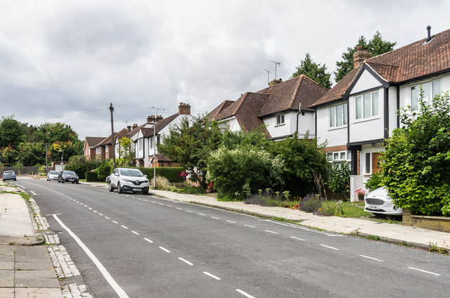
Image: © Ian Capper Taken: 25 Jul 2020
Cul-de-sac off Clarence Road, marked without development on the 1924 1:2,500 map (when it was shown as Wormleighton Road), but not seeing any building until the northern side (seen here) was developed in the 1930s. The southern side was undeveloped until after the Second World War, with some plots not built on until the 1960s. It ends at the railway (seen in the left background), although unlike its neighbours York Road and Jennings Road, it has no footbridge linking it to Lemsford Road.
Images are licensed for reuse under creativecommons.org/licenses/by-sa/2.0
Image Location
Latitude
51.756138
Longitude
-0.323852