Mundford Road near Weeting
Introduction
The photograph on this page of Mundford Road near Weeting by David Howard as part of the Geograph project.
The Geograph project started in 2005 with the aim of publishing, organising and preserving representative images for every square kilometre of Great Britain, Ireland and the Isle of Man.

There are currently over 7.5m images from over 14,400 individuals and you can help contribute to the project by visiting https://www.geograph.org.uk
Mundford Road near Weeting
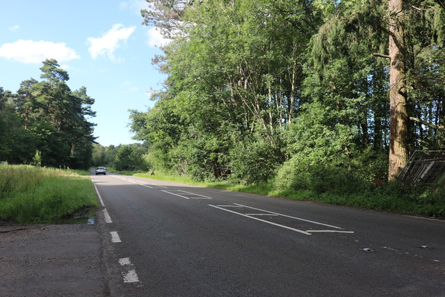
Image: © David Howard Taken: 19 Jul 2020
Emily's Wood has just become Snake Wood heading north.
Images are licensed for reuse under creativecommons.org/licenses/by-sa/2.0
Image Location
Latitude
52.479118
Longitude
0.645859