York Road
Introduction
The photograph on this page of York Road by Ian Capper as part of the Geograph project.
The Geograph project started in 2005 with the aim of publishing, organising and preserving representative images for every square kilometre of Great Britain, Ireland and the Isle of Man.

There are currently over 7.5m images from over 14,400 individuals and you can help contribute to the project by visiting https://www.geograph.org.uk
York Road
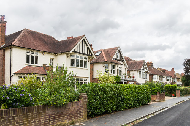
Image: © Ian Capper Taken: 25 Jul 2020
Cul-de-sac bordering Clarence Park, developed over the first two or so decades of the 20th Century. A footpath along its later route is marked on the 1878-9 and 1898 1:2,500 maps.
Images are licensed for reuse under creativecommons.org/licenses/by-sa/2.0
Image Location
Latitude
51.755221
Longitude
-0.323842